Example project:
Field Survey in Cornwall
Topographical Land Survey
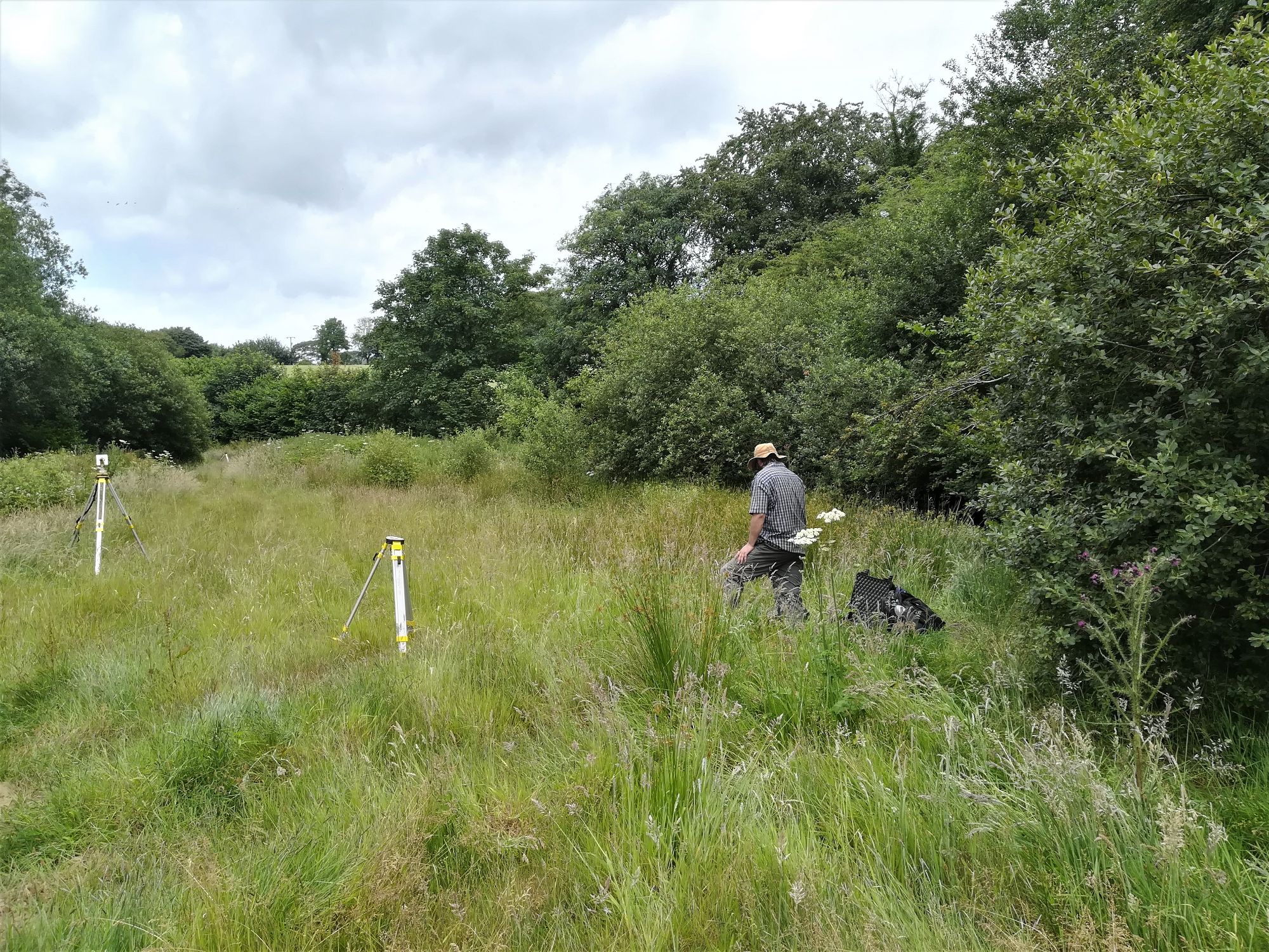
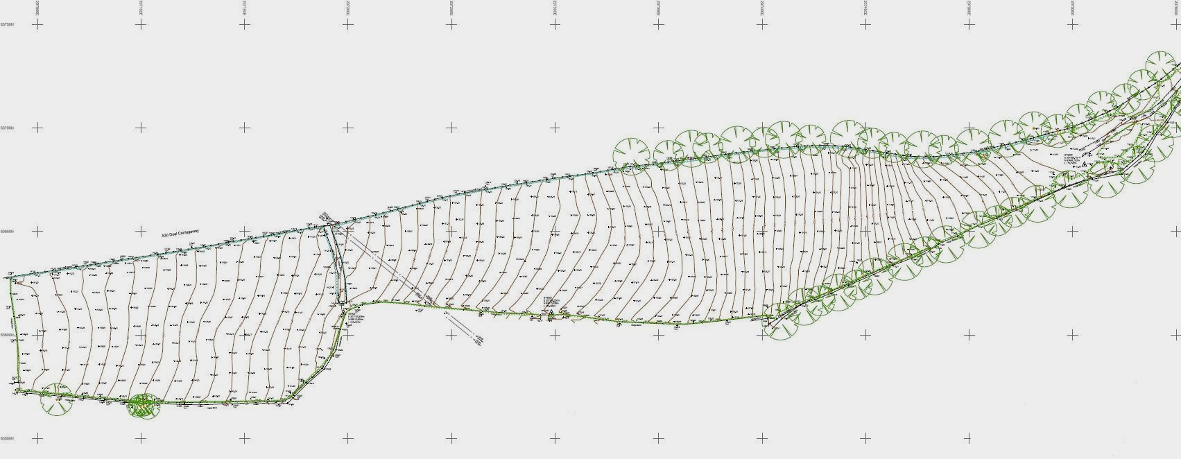
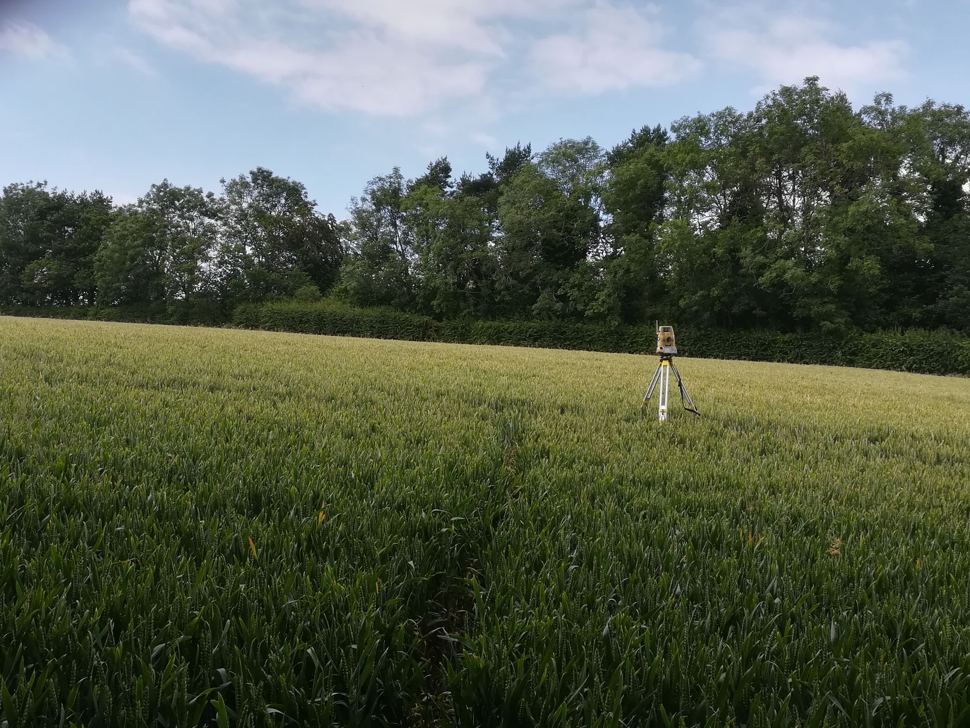
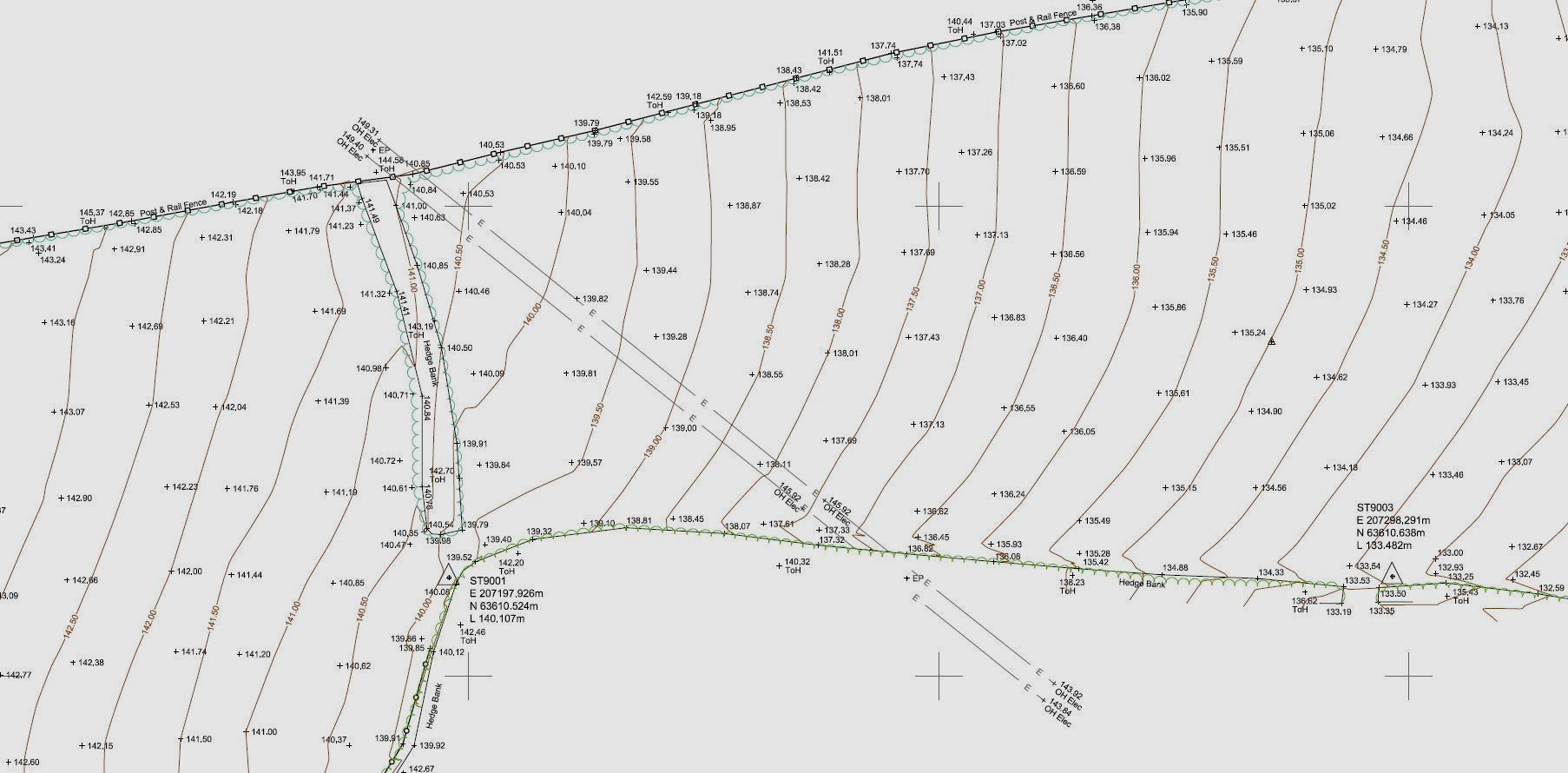
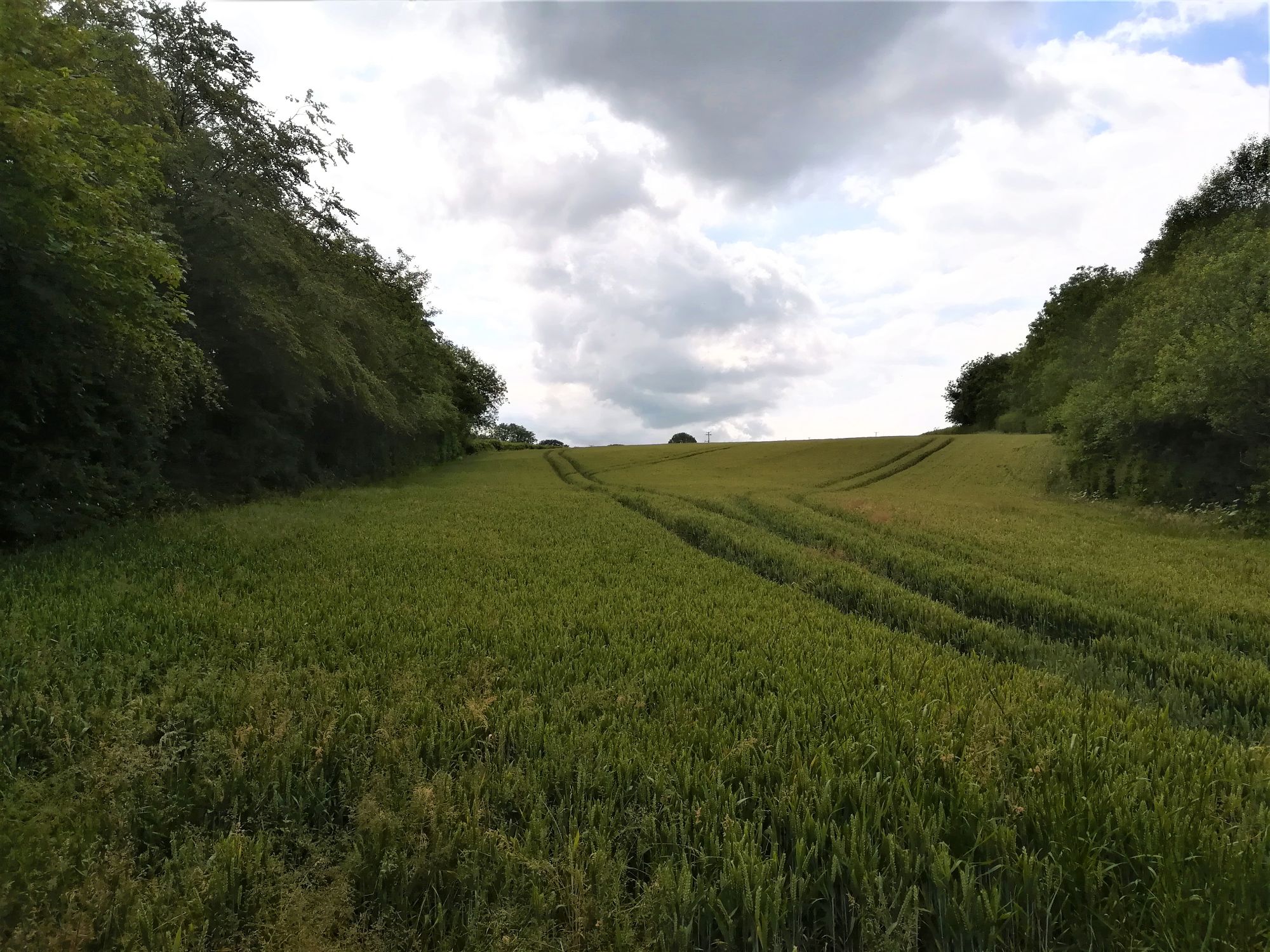
This survey was carried out on a very hot day in the summer. It basically consisted of two elongated fields with a high voltage power line crossing half way measuring 600m from one end to the other. The fields had crops growing in them, so care had to be taken to follow vehicle tracks where possible and to walk between the seeded lines of the crops. Survey control was set up using a static GPS receiver and then temporary ground stations placed in each field. The survey crew then split with one member picking up spot levels on a grid through the middle of the fields while the other picked up the boundaries using an optical total station (very often the boundaries of a field can be obscured to GPS receivers by tree canopies). The two sets of data were later merged in the office, a ground model created and a contoured drawing generated.