
Topographical Land Surveys in Cornwall, Devon & The Southwest
Land Surveys
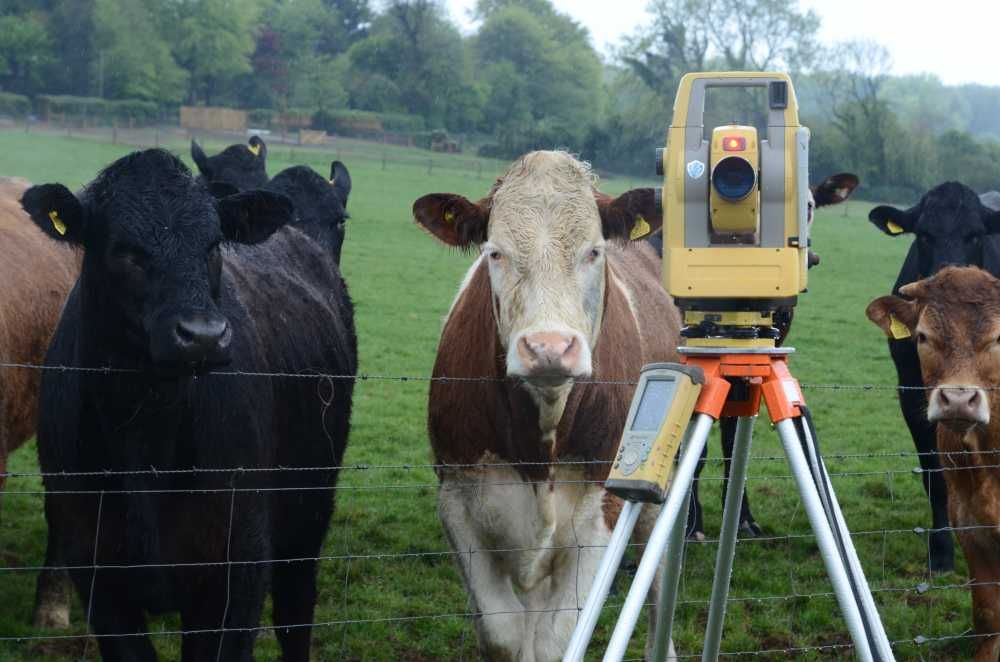
Topographical land surveys are carried out using the latest robotic one-man surveying systems and RTK GPS. Depending on the clients requirement survey control can be set up either using an arbitrary grid and level benchmark, or referenced to Ordnance Survey National Grid using RTK network GPS receivers. Surveys pick up the general ground topography together with features such as buildings, walls, fences, roads, paths, vegetation, manhole covers etc.
We work all over the Southwest of England including The Isles of Scilly, Cornwall, Devon, Somerset and Dorset.
Ground Levels and Features
In addition to recording ground levels, surveys will also pick up the height and location of overhead services, position of buildings adjacent to the site with eave and ridge heights and the heights of boundary features such as fences and hedges. If required, manhole covers can be lifted to provide the depth of utility's and drainage. Surveys are recorded digitally, downloaded onto computer and processed using CAD drafting software in either 3d or 2d depending on the clients requirement. The final output is issued to the client as PDF and Autocad DWG files. Paper prints can also be supplied if required.
Many jobs are undertaken where there are existing drawings that have to be combined with the new survey. This can sometimes present a challenge, particularly if the existing drawings are on paper, but we can usually find a way to combine the two and present the client with one seamless CAD file that shows all the information. An example land survey project can be found here.

Land Survey Applications
-
Planning applications
-
Engineering or architectural design
-
Road re-alignment
-
As-constructed drawings
-
Quality control
-
Cross sections
-
Level surveys
-
Landscape architecture
