
River and Flood
Risk Surveys
River & Flood Risk Surveys
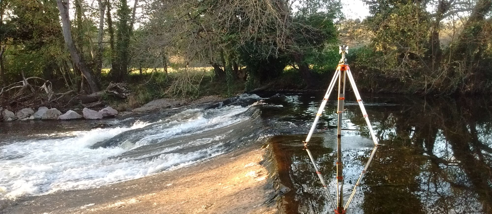
River surveys are commissioned for a number of reasons including the construction of bridges, design of erosion protection and flood risk analysis. This type of work involves surveying of the river banks (top and bottom), river bed, water levels, flood plains and surrounding topography. The survey information can be presented as a 3d digital terrain model and cross sections through the river can be generated. An accompanying spreadsheet file of coordinated points with chainage along each section can also be produced if required, This type of survey is often carried out to the Environment Agency specification.

Methods used, Health & Safety
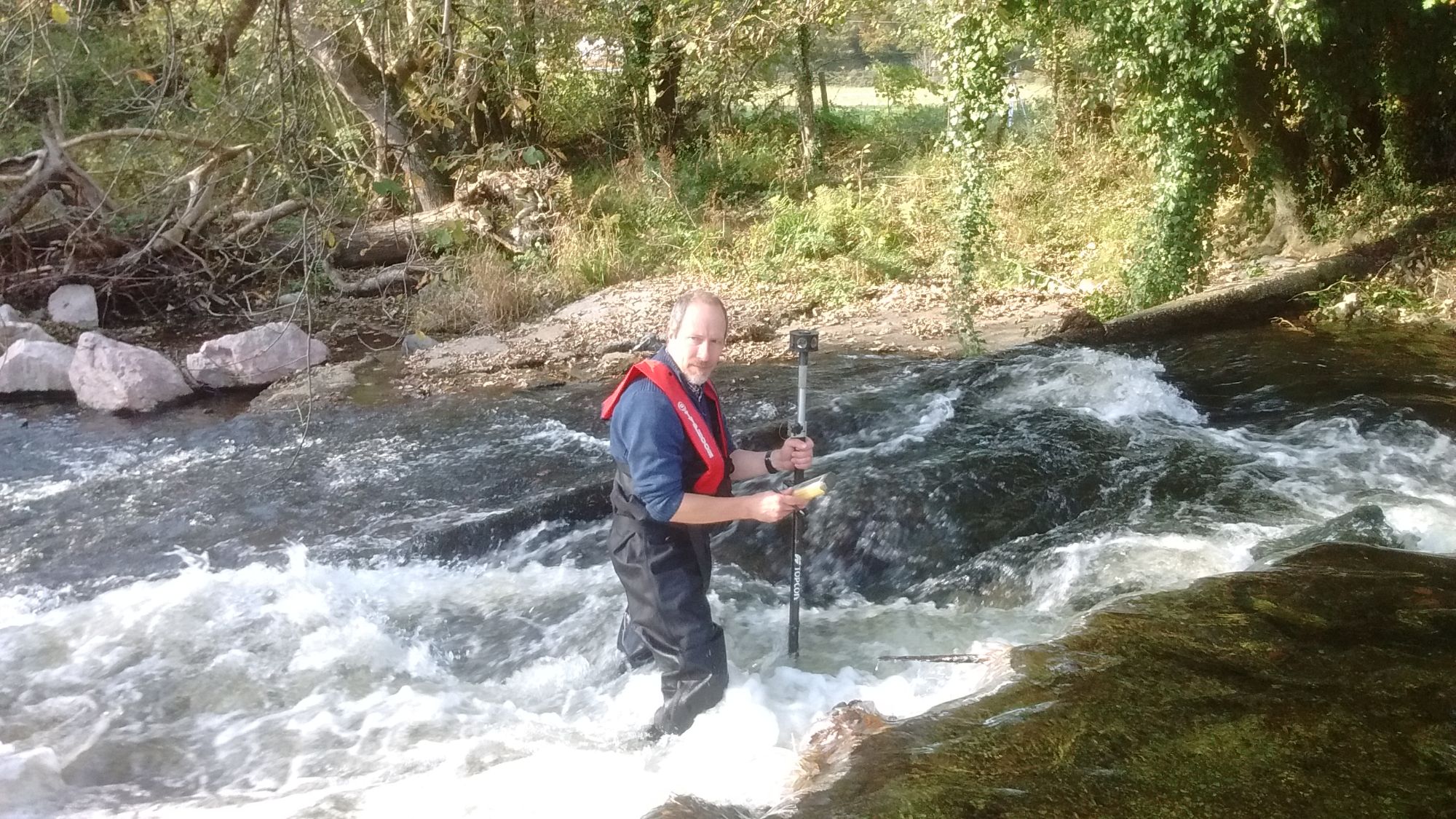
When surveying a river or stream very often the best place to set up a surveying instrument is on the river bed itself. All stream & river surveys are carried out to Ordnance Survey national grid and level datum so GPS control will be positioned at a location with a clear view of the sky and near to the river in order to achieve this. Optical survey control will then be set up close to the river. The decision to traverse up a riverbed is taken firstly on the basis of the prevalent weather conditions and forecast, secondly on the depth of the river and thirdly the available lines of sight and amount of vegetation and trees that line the river banks. If the weather is poor or large amounts of rain is forecast then the work may be delayed until conditions are more favourable. In the winter it may not even be possible to access the river due to increased flows so the survey would have to wait until spring or summer. Either way, health and safety is of paramount importance. Only two man crews survey rivers & streams, life jackets are used and dry suits or heavy duty waders are worn while carrying out the survey. We generally carry out this type of work across southwest England, Cornwall, Devon, Somerset & Dorset.
