Example project:
St Eustachius Church
Tavistock, Devon
History
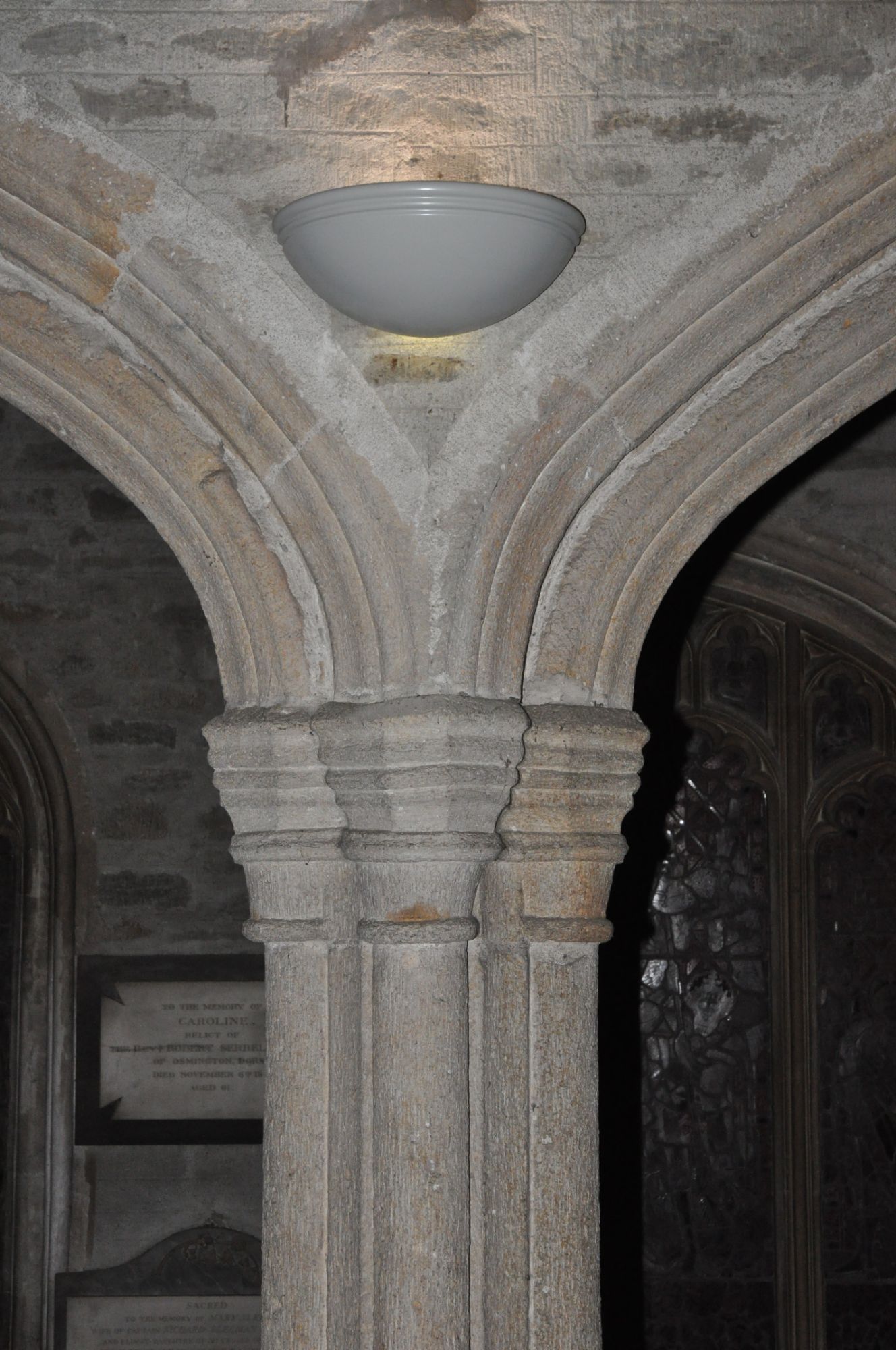
St Eustachius Church dates from 1265, although the ruins of an earlier Benedictine Abbey dating from 981 are still to be seen in the church grounds. Rebuilt in 1318, nothing of the original 1265 church survives and, following a period during which it fell into disrepair, it was largely rebuilt again by 1400. Further building work took place during the 15th century and the first record of a clock and chimes occur in 1540.
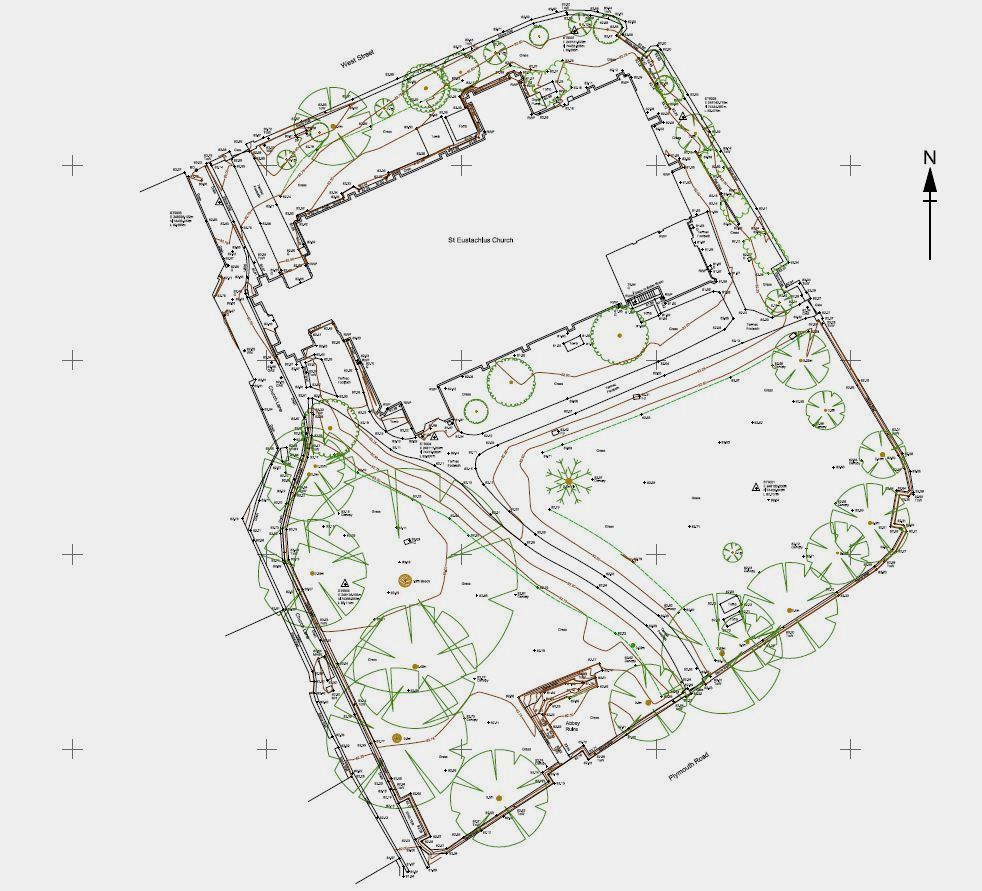
Preston Engineering Survey were commissioned by Tavistock PCC to carry out a full survey of the church and grounds.


Survey Control
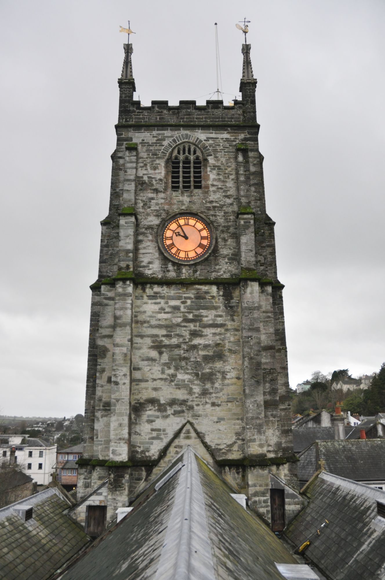
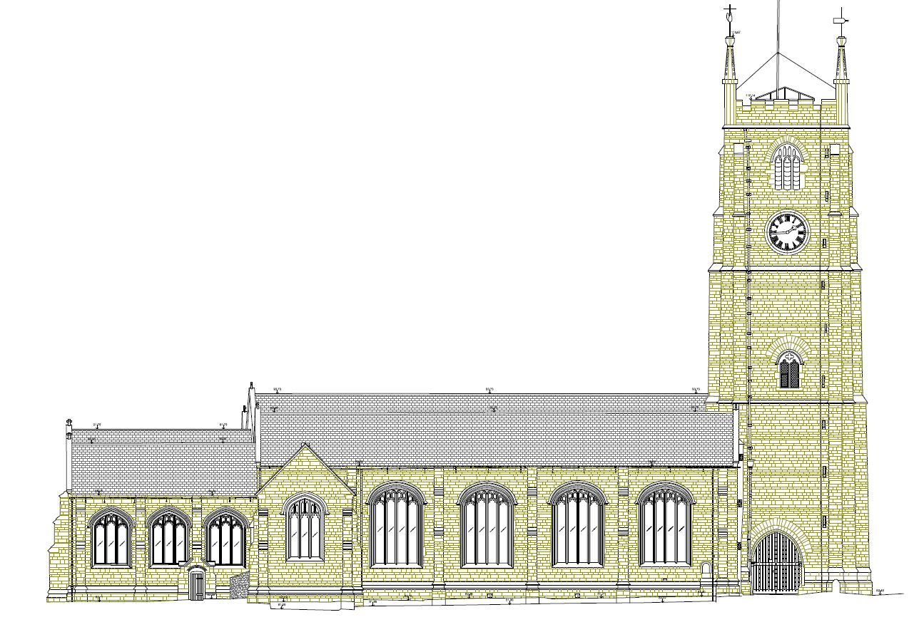
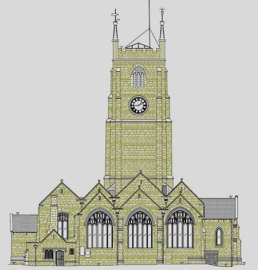
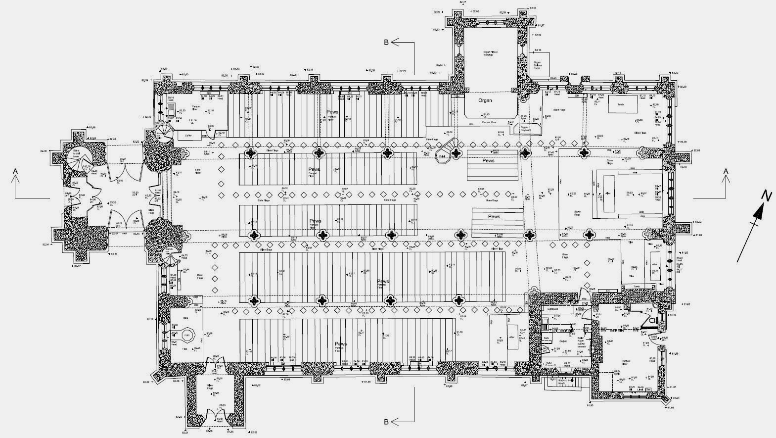
Survey control was put in using a static GPS receiver to allow the survey to be referenced to Ordnance Survey grid and level datum. RTK (Real Time Kinetic) GPS was then used to record the interior valley sections of the roof, picking up the edge of roof tiles and valley levels. GPS was also used to record the top of the church tower and parapet levels (see photo below). A traverse was then carried out, using a total station theodolite, around the building picking up the ground survey and elevation details together with eave and ridge heights. A full interior survey was carried out on the same grid. The resulting data was then processed in order to produce a floor plan, site plan, full set of exterior elevations and interior elevation long & cross sections.